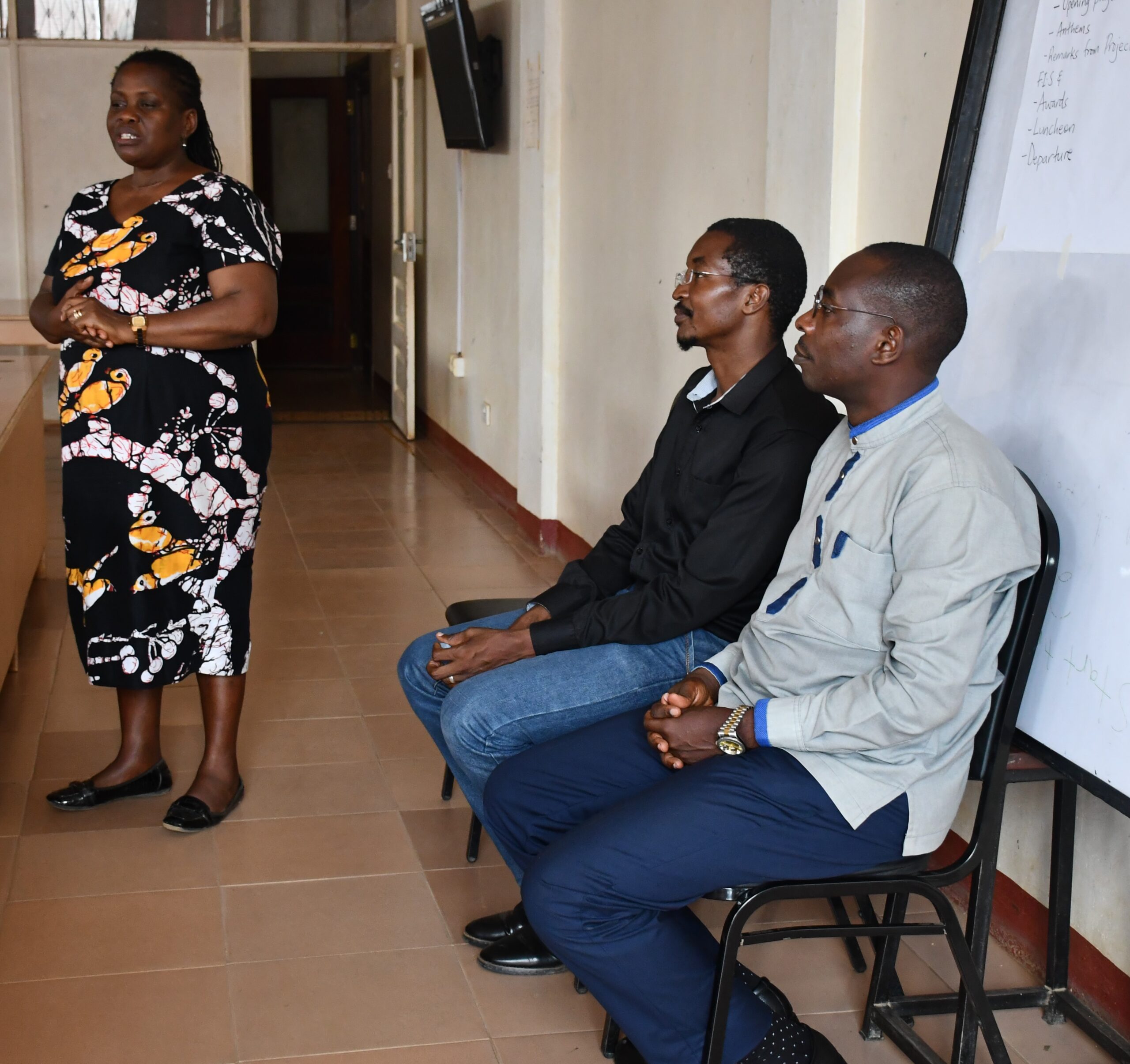
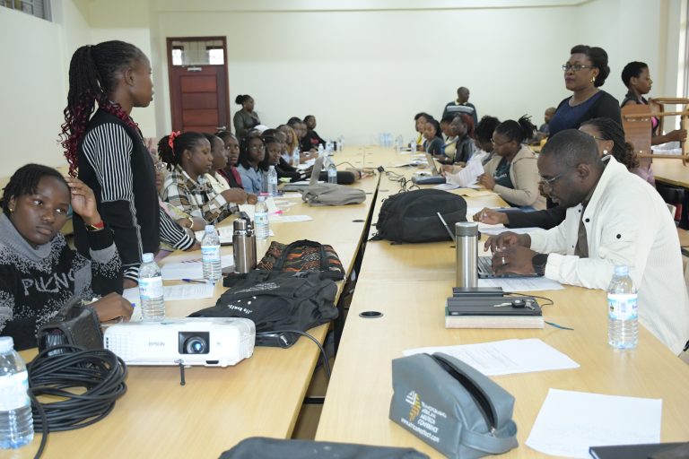
Beginning on Monday, May 13, 2024, and lasting until May 17, 2024, was the 5-day Geographical Information Systems (GIS) course offered by MUST IUC-UCoBS subproject 1, under the direction of Dr. Medard Twinamasiko.
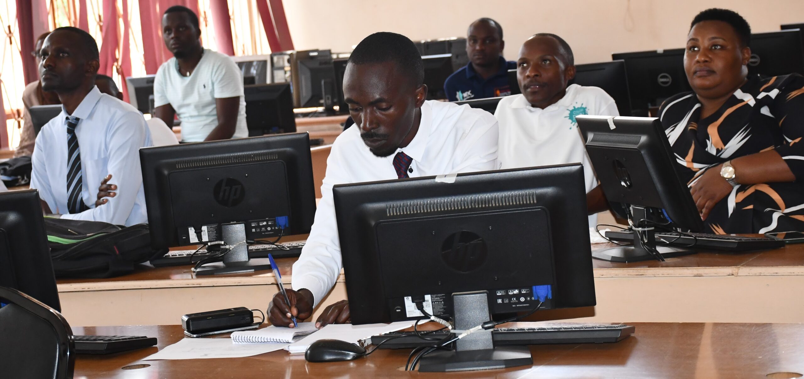
The goal of the training, which was given at the Faculty of Interdisciplinary Studies (FIS) resource center, was to provide postgraduate students and staff at MUST with adequate practical knowledge of GIS fundamentals and related software, particularly Quantum GIS (open source software).
The MUST IUC-UCoBS program is credited with developing GIS training, which is crucial and applicable to researchers at Mbarara University of Science and Technology. Dr. Wendo Olema, the Dean of FIS, honored the training.
Facilitators Dr. Ronald Twongyirwe, Dr. Medard Twinamatsiko, Mr. Nuwagira Upton, and others worked with the 25 participants that were chosen.
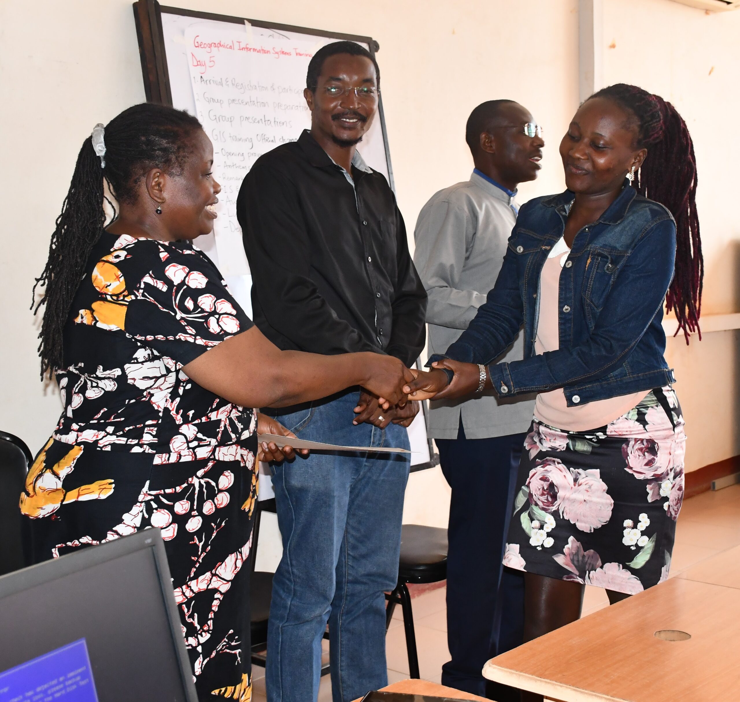
This was the spatial Level 1 training, and there are two more levels underway to enrich the skills of the participants. At the end of the training, Dr. Medard appreciated the participants for the determination and enthusiasm portrayed during the training.
He thanked the dean for his commitment to the training and informed the participants that subproject 1 is committed to developing the GIS lab through branding and equipping it with more machines.
The training was officially closed by the dean of FIS.
SUCCEED, WE MUST
PHOTO GALLERY